 Atlas login

Blog
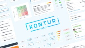
Open-Source UI Kit for Geospatial Applications
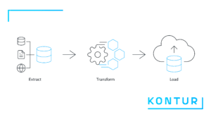
Geocint: Kontur’s data pipeline framework is now open source

Maps with Kontur Population data reveal insights on climate change, flood risk, and more
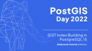
PostGIS Day 2022: GiST Index Building in PostgreSQL 15

Optimizing the Location of Waste Bins in Batumi

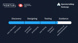
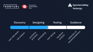
Guiding the Redesign of OpenAerialMap with a Product Mindset

H3 hexagonal grid: Why we use it for data analysis and visualization

Measuring Completeness of Road Network in OpenStreetMap
OpenAerialMap v2 Design Testing Phase Update

Identifying Risk Areas of Fire Service Delayed Response
OpenAerialMap v2 Design Phase Update
Let's stay in touch!
For updates on new products and news.