Atlas login
Start Date
03 Jul 25
populated Area exposed
11К km²
Total people exposed
2.2 mln
Severity score
4/5
Last update: July 7, 2025
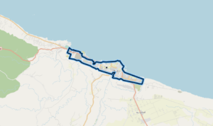
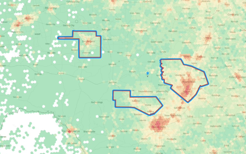
On July 3, 2025, catastrophic flash floods hit central Texas, affecting over 2.2 million people and exposing GDP worth $197 billion. The floods covered an area of more than 11K km², making it one of the most severe natural disasters in the region in recent years.
Additional analytic data based on Kontur datasets:
| Exposed GDP | 197 bln USD |
| Number of exposed buildings | 1 mln |
| Percentage of populated area | 61% |
| Area | 17,415 km² |
| Forest landcover | 9,235 km² |
| Population under 5 | 130,059 ppl |
| Population over 65 | 233,543 ppl |
| Population with disabilities | 195,862 ppl |
| Population without a car | 156,582 ppl |
| Airports | 77 |
| Road length | 86,642 km |
| Railway length | 1,173 km |
| Railway stations | 16 |
| Kindergartens | 125 |
| Schools | 1,568 |
| Colleges and Affiliates | 87 |
| Higher Education Institutions and Affiliates | 240 |
You may also find these useful:
SNN Timelapse video shows speed of floodwater rising in Texas