Atlas login
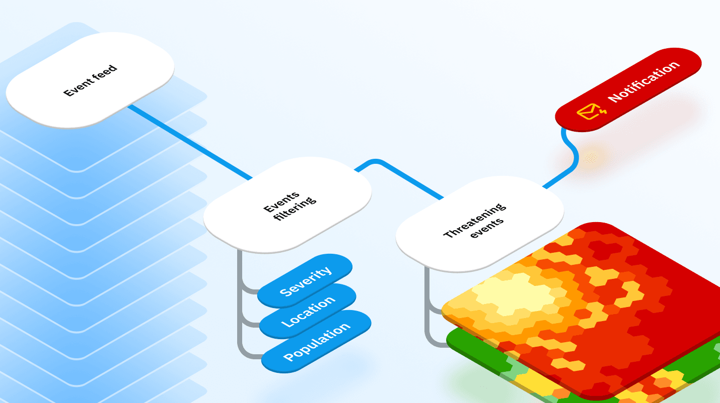
Timely disaster alerts shouldn’t take months to build and integrate. With Kontur Event Feed, you get exactly the data you need, delivered how and when you need it — without the complexity.
Who This Is Built For
Data science teams looking for clean, standardized disaster data
Risk managers monitoring exposure in real time
B2B SaaS products needing automated triggers for customer workflows
Ops platforms integrating alerts into dashboards and decision engines
Developers integrating spatial data into maps, dashboards, and risk tools
In the realm of disaster management, different data providers have different event data standards. Integrating data from multiple sources into a single internal system becomes complex and cumbersome. While global and local data suppliers offer valuable insights, they often fall short of providing a comprehensive and cohesive picture of disaster-related information.
Choose only what you need
Perils
Cyclone
Flood
Earthquake
Wildfire
Volcano
Drought
Tsunami
Storm
Winter Storm
and more
Sources
NOAA
NASA-FIRMS
USGS
NHC
CalFIRE
GDACS
and more
Our platform unifies all incoming data, so you don’t need to worry about inconsistent formats.
Alerts that fit your workflow
Slack / Email
Updates for your ops team on ongoing disasters
Webhooks
Direct push into internal systems
Custom triggers
We can setup custom triggers for notifications (filters for events to send).
location
metadata (wind speed, magnitude, …)
analytics (exposed population, area, …)
and another
Developer-first features
Kontur’s Event API allows near-real time access to disaster intelligence in a unified format:
Kontur’s Event API allows near-real time access to disaster intelligence in a unified format:
Unified data model: All events follow a common schema.
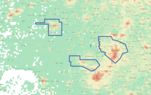
GeoJSON-ready: /v1/geojson/events returns FeatureCollection objects, perfect for maps and spatial tools.
Cursor-based pagination: Use pageMetadata.nextAfterValue to page through recent updates efficiently.
Multiple feeds: Access different feeds using /v1/user_feeds with your API token.
Raw observations: Use /v1/observations/{observationId} for full original source payloads.
Go live in days
We provide technical documentation, Swagger access, onboarding sessions, and hands-on support to help you get started fast.