Atlas login

Does your organization grapple with the growing complexity and variety of data? Are you constantly dealing with data from various sources in different formats? Do you strive for efficiency, scalability, and reliability in geospatial data processing?
Kontur is here to address these challenges with Geocint, a tailor-made solution for your geospatial data processing needs.
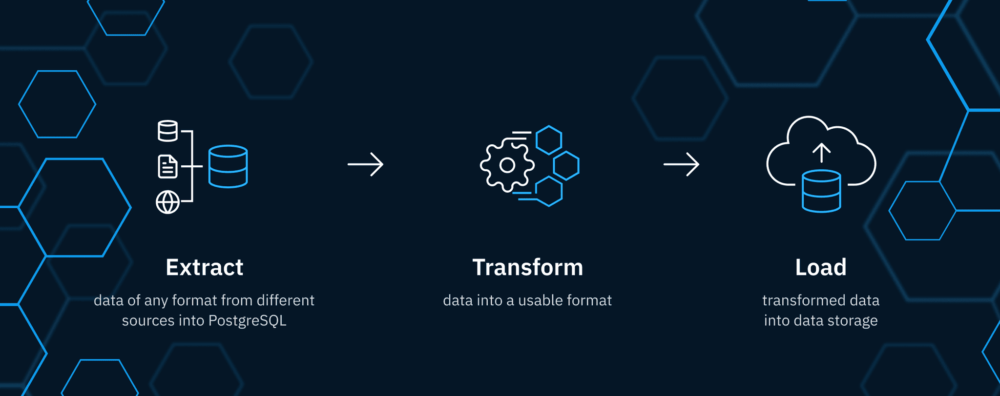
Geocint is our unique open-source ETL data pipeline framework, leveraging the power of PostgreSQL, PostGIS, and H3 hexagons to provide a high-throughput, standalone geospatial data ETL/CI/CD pipeline.
Our team at Kontur, with extensive experience in geospatial data processing, has identified the need for a tool that addresses the unique demands of geospatial data, and Geocint is our answer.
Why Should You Choose Geocint?
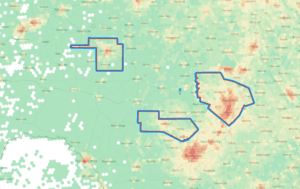
- Geospatial Data Processing: Geocint is adept at managing spatial data, making it the perfect companion for GIS (Geographic Information System) applications. It effortlessly manages large geospatial datasets and supports vector, raster and tabular formats without requiring additional modules.
- SQL-based ETL with PostGIS: Geocint harnesses the robust capabilities of SQL and PostGIS for seamless data extraction, transformation, and loading. With Geocint, you can leverage your SQL skills to efficiently process and manipulate geospatial data using the powerful spatial extension of PostGIS. This ensures a reproducible and scalable approach, enabling you to unlock the full potential of your SQL expertise for accurate and timely handling of geospatial datasets. Experience the comprehensive SQL-powered ETL solution provided by Geocint and take control of your geospatial data workflows.
- Built-in OpenStreetMap data support: Geocint provides a ready-made solution for downloading, updating, and loading OpenStreetMap data to a PostgreSQL database. Stay up-to-date with the latest OSM data and leverage it in your projects effortlessly.
- Easy and Efficient Orchestration of Tasks: Geocint adopts a Directed Acyclic Graph (DAG) pipeline architecture, promoting clear dependencies between processing steps and ensuring an orderly sequential progression of operations. The use of Makefile and Make-profiler simplifies the management and tracking of your data processing pipeline.
- H3 Support: Geocint leverages the H3 hexagonal hierarchical geospatial indexing system, which partitions the world into hexagonal cells, facilitating high-performance lookups and a compact storing format.
- Open-Source and Resource-Friendly: Geocint is an entirely open-source project with publicly available code and documentation on GitHub. It utilizes popular open-source technologies such as PostgreSQL, PostGIS, and h3-pg for efficient and powerful data manipulation. Furthermore, Geocint requires minimal resources, making it suitable for small organizations and cost-effective deployments.
- Real-time Data Processing: With Geocint, your data is always up-to-date, facilitating real-time insights and decision-making.
Customer Stories
Kontur
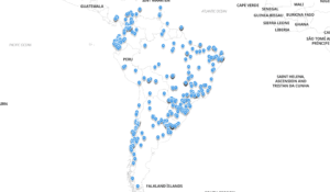
Kontur uses Geocint to prepare 50+ datasets for our analytical tools, including the famous Kontur Population where we used OpenStreetMap data extraction.
MapAction
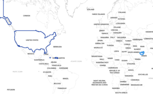
MapAction uses the ETL pipeline in data collection and validation to streamline the delivery of disaster response maps. This project uses OpenStreetMap data extracts, Natural Earth, and other data sources.
Why wait? Get Started with Geocint Today!
Ready to experience the power of Geocint in your geospatial data processing workflows?
Follow the step-by-step installation guide and deployment best practices provided in our GitHub repository.
Join our growing community of data-driven organizations and individuals who rely on Geocint for efficient ETL and GIS data processing. Share your experiences, contribute to the project, and together, let’s make geospatial data processing better!
https://github.com/konturio/geocint-runner
Support, Training and Customization
Geocint is developed and maintained by Kontur, a trusted provider of free and open-source geospatial software. Kontur is committed to advancing the humanitarian mapping field and creating sustainable solutions for geospatial data processing.
Kontur creates customized pipelines based on Geocint for your needs and provides support and optimization.
Give us your use case and we will build an ETL pipeline for you! Want a free demo? Contact us via the form below!