Atlas login
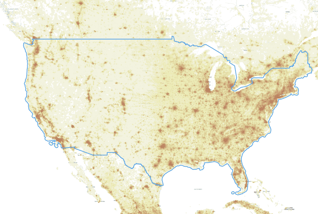
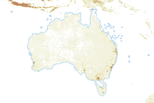
US Population Density Map

The Population Density map of the United States of America shows the distribution of the population based on Kontur Population Dataset. The map contains hexagons of approximately 1,300 feet (400 meters) in size.
The same map can be created by you for any country or state, using this tutorial.
You can also explore the interactive population density map of the US here:
According to the 2020 census, the total population of the US is 331,449,281 people.
The most populous states, according to the Census Bureau, are California (39,538,245 people), Texas (29,145,428 people), and Florida (21,538,226 people).
The three most populous cities in the United States are: New York City, New York, with 8,804,194 people. Los Angeles City, California, with 3,898,767 people. Chicago City, Illinois, with 2,746,352 people.
New York City Population Density Map
New York City is the most populous city with a population size of 8,804,194(according to the 2020 census). The population density in New York City is 29,302.66 people per square mile (11,313.81 people per square kilometer).
The population of New York City is the same as that of the 10 least populated US states. These states are Maine, Rhode Island, Montana, Delaware, South Dakota, North Dakota, Alaska, the District of Columbia, Vermont, and Wyoming.
Kontur Population is available under Creative Commons Attribution International (CC BY) license. You can use it for any purpose, even commercially.
The latest population data for the US, provided by Kontur, is available on the United Nations Humanitarian Data Exchange (HDX). It provides information about the population density in the US using 400m H3 Hexagons. The file size is 252 MB.
Kontur population dataset
Kontur Population is a publicly available dataset that provides information about population density across the globe. The dataset utilizes a grid system based on H3 hexagons, with population counts at a resolution of 400 meters. The dataset has various applications, including humanitarian mapping, waste management optimization, commercial site selection, emergency service coverage, and more.
If you need some custom processing or a higher-resolution version of this dataset, please get in touch with us.