Atlas login
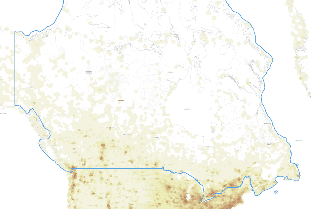
Canada Population Density Map
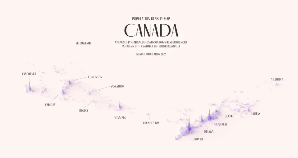
The Population Density map of Canada shows the distribution of the population based on Kontur Population Dataset. The map contains hexagons of approximately 1,300 feet (400 meters) in size.
The same map can be created by you for any country or state, using this tutorial.
According to the 2021 census, the total population of Canada is 36,991,981 people.
Kontur Population is available under Creative Commons Attribution International (CC BY) license. You can use it for any purpose, even commercially.
The latest population data for Canada, provided by Kontur, is available on the United Nations Humanitarian Data Exchange (HDX). It provides information about the population density in Canada using 400m H3 Hexagons. The file size is 36.7 MB.
Kontur population dataset
Kontur Population is a publicly available dataset that provides information about population density across the globe. The dataset utilizes a grid system based on H3 hexagons, with population counts at a resolution of 400 meters. The dataset has various applications, including humanitarian mapping, waste management optimization, commercial site selection, emergency service coverage, and more.
If you need some custom processing or a higher-resolution version of this dataset, please get in touch with us.