 Atlas login

Blog
Build your own Event Feed – smarter alerts for the hazards that matter
How Kontur Event Feed was born: from a reinsurer’s request to a global disaster tracking system
Webinar Risk Analysis for Hazards
Webinar – Answering “Where”: How to choose the right place for anything

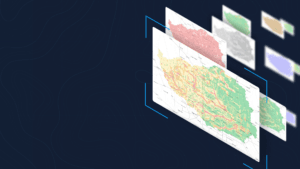
How Atlas is transforming: progress in 6 months

How we add data layers to Atlas: The example of defibrillators

Kontur Team’s Journey in the 30DayMapChallenge 2024
How expert participation in the NASA Lifelines humanitarian simulation helps Kontur enhance ODIN
Transform Data into Actionable Insights: Atlas for your Research
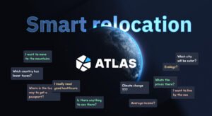
Smart relocation
Official Atlas Launch: A User-Centric Approach
Let's stay in touch!
For updates on new products and news.