Predict. Monitor. Analyze.
Global geospatial provider for impact and location assessment.
Kontur provides full spectrum of GIS solutions for B2B & B2G market, such as platforms, data, and feeds. Our tools help insurers, urban planners, emergency responders, agriculture and climate professionals around the world act faster and make smarter, data-driven decisions – no GIS background required.
Our mission
Our mission is to make the world safer and more resilient by transforming complex geospatial data into clear insights for informed action.
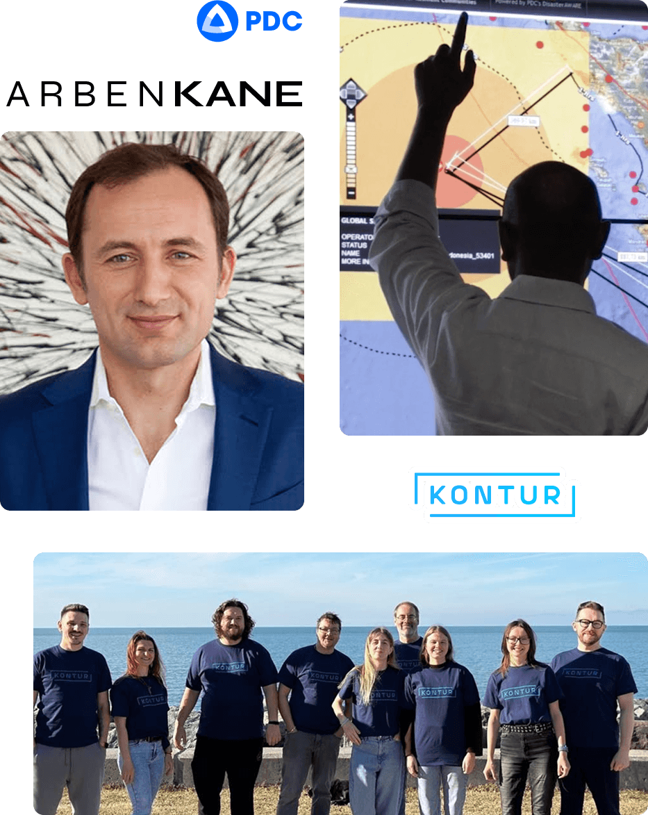
From Hawaii
to the World
The Hawaiian-based Pacific Disaster Center (PDC) partnered with Arben Kane in 2006 to develop vital IT solutions.
This partnership led to the creation of Kontur, now a global provider of smart geospatial tools for risk and impact management.
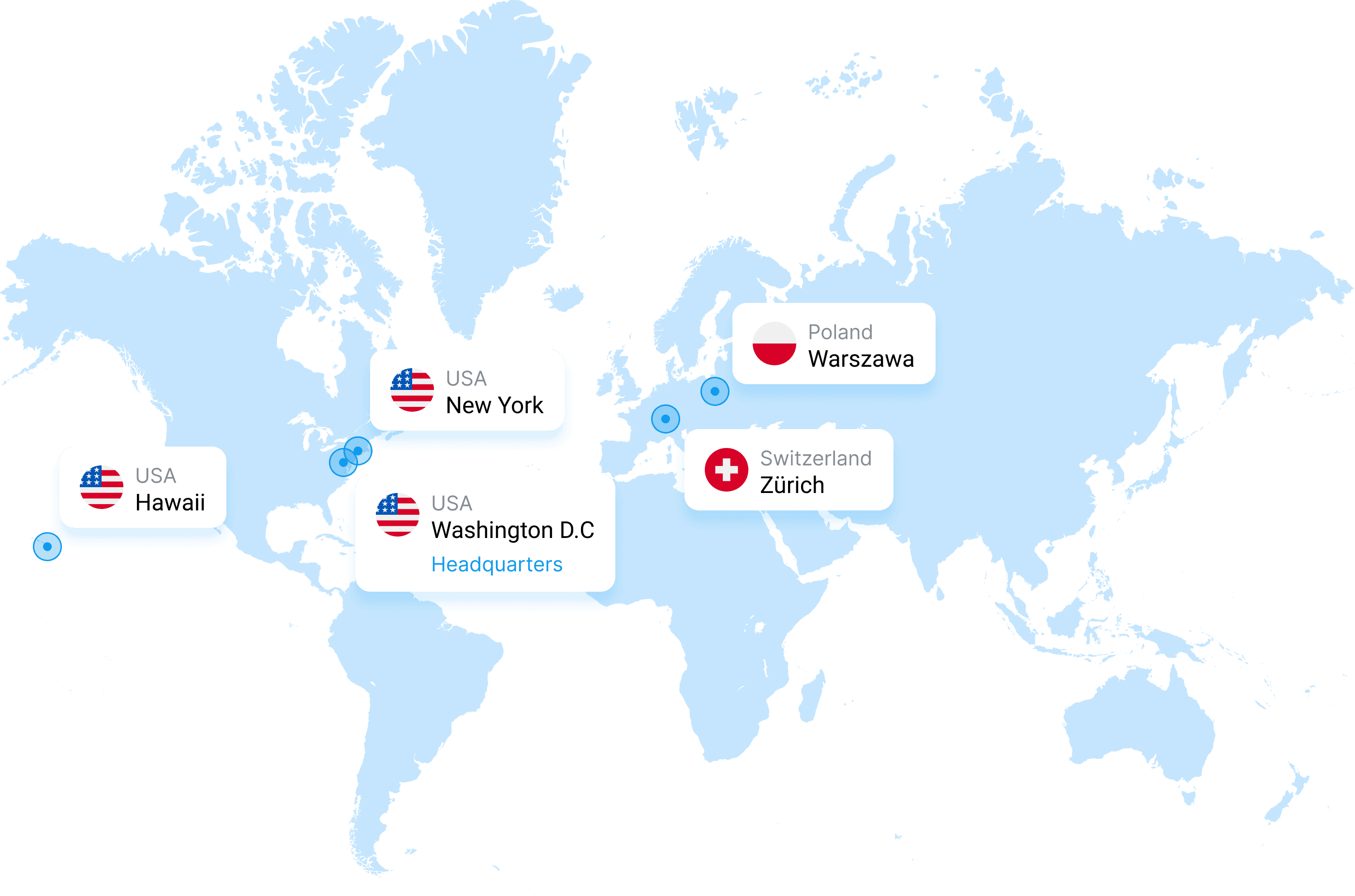
Global reach
Kontur processes and harmonizes billions of data points from satellite imagery, demographics, hazard feeds, and environmental sensors – covering all inhabited regions of the world.
Local precision
Our platform adapts to local requirements and scales to enterprise needs, supporting organizations with both ready-to-use tools and custom solutions. Across the US, Europe to Latin America, Africa, and Asia.
Scalable architecture
Built to handle massive geospatial workloads
Fast and flexible
Real-time data feeds, quick deployment, customizable modules
Clarity over complexity
Designed for decision-makers, not just data scientists
Global presence. Global solutions
Model disaster risks and forecast their impact
Speed up insurance claims and risk evaluation
Track population, forest health, and infrastructure exposure
Apply advanced multi-layer analysis to ranking your areas of interest
 Atlas login